AGRICULTURE / CROP APPLICATION
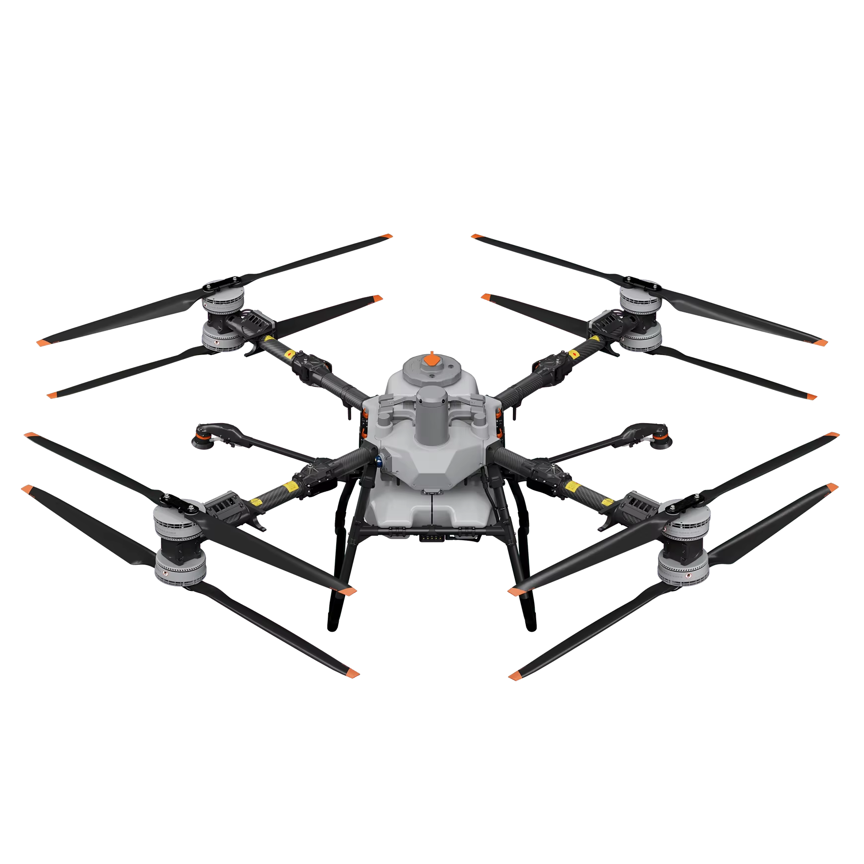
DJI Agras T100
Start with our flagship agricultural platform for crop-application work. Explore the T100 with spraying system and plan the field setup around your farm.
Explore the T100 in the store ↗

AFRIDRONES / NAMIBIA
Drone solutions for the land you work, the assets you manage and the places you protect.
AGRICULTURE · MAPPING · INSPECTION · CONSERVATION
FIND YOUR APPLICATION
Discover practical uses, local considerations and the workflow behind each application. Choose equipment once you understand what the job needs.
01
Explore spraying drones, crop assessment and aerial mapping for Namibian farms and rangelands.
Practical uses
Crop spraying · De-bushing planning · Rangeland monitoring · Crop assessment
02
Aerial data for professional land surveyors, town planners, mines and construction teams.
Practical uses
Land surveying · Town planning · Stockpile measurement · Terrain mapping
03
Explore how visual and thermal data can help teams understand the condition of assets across Namibia.
Practical uses
Solar installations · Infrastructure checks · Maintenance planning
04
Support the people protecting wildlife and managing large properties with a clearer view from above.
Practical uses
Anti-poaching support · Wildlife observation · Habitat monitoring
ABOUT AFRIDRONES
Your work sets the direction. We help you connect the right aircraft, sensors and workflow to the job you need to do in Namibia.
Whether you manage a farm, survey land, inspect infrastructure or protect wildlife, start with the result you need. Talk to Afridrones about equipment selection, training and support for your operation.
A CLOSER LOOK
A few starting points from our range. Find the aircraft and workflow that fit your operation.
AGRICULTURE / CROP APPLICATION
Start with our flagship agricultural platform for crop-application work. Explore the T100 with spraying system and plan the field setup around your farm.
Explore the T100 in the store ↗
MAPPING / INSPECTION
One enterprise platform, different mission payloads. Explore the P1 mapping workflow or the H30T inspection setup on our application pages.
Explore the mapping setup →
INSPECTION / CONSERVATION
A portable visual and thermal option for field teams, property monitoring and conservation work. Start with the task and build the right field kit.
Explore field applications →
01 / 03 · Explore the range
BEFORE YOU BUY
01
Tell us what you need to see, measure or apply.
02
Consider aircraft, payload, batteries and software together.
03
Account for distance, terrain, charging and operator experience.
04
Discuss training, maintenance and ongoing support needs.
LET’S FIND YOUR FIT
Not sure which model is right? Share your application, location and budget with our team. We’ll help you work through the options.
Prefer to browse? View the full store →
MORE THAN THE AIRCRAFT
Discuss your application and the equipment, data and workflow it requires.
Ask about practical training and familiarisation for your team and equipment.
Get in touch about maintenance, troubleshooting, spares and repair requirements.
BUILT AROUND NAMIBIA
A farm near Otavi, a remote conservancy or a busy industrial site: every operation has different demands. Bring us your brief and let’s work through what a drone solution could do for you.